Google Maps Street View in India
July 31, 2022

Google Maps recently launched a “street view service” in 10 cities in India with two local companies Genesys International and Tech Mahindra. Previously, the government had not allowed the display of landscape images of roads and other locations, citing security reasons.
Google Maps Street View Highlights:
Street View services will be available on Google Maps.
For this service, new images have been licensed to local partners with a range of more than 1,50,000 km in ten cities in India.
The 10 cities where this service has launched includes:
Bengaluru, Delhi, Mumbai, Chennai, Pune, Nasik, Hyderabad, Vadodara, Amritsar and Ahmednagar.
Google plans to expand the service to more than 50 cities by the end of 2022. Street View is emerging in India, thanks to local partners, this is the first example of this company in the world. Street View API will also be made available to local developers. This will allow them to provide a rich mapping experience in their services.
Important features of Google Map Street View India includes
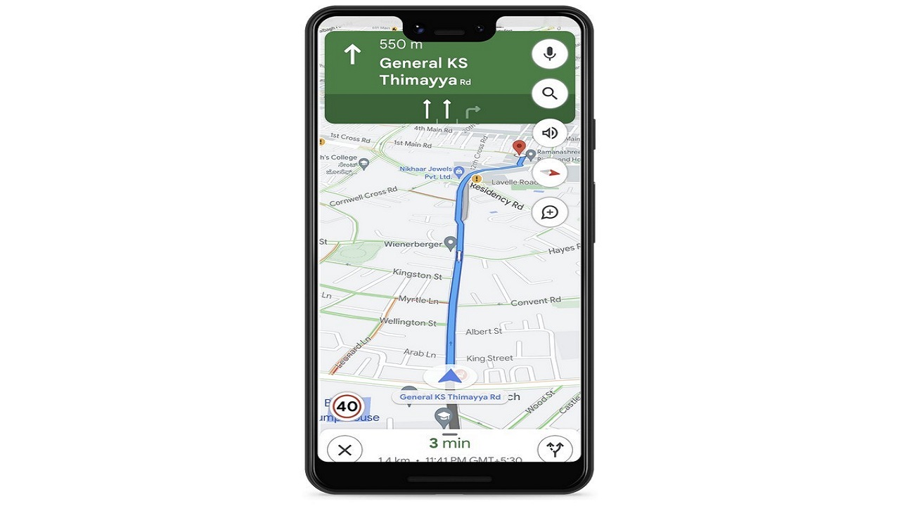
As part of the Street View service, Google Maps will display speed limit data, which will be shared by traffic authorities. This facility will depart from Bangalore.
In Bangalore, Google will also partner with traffic police to provide better traffic light timing optimization models.
It will help local transport authorities manage traffic jams at key intersections.


